These animated videos help inform on the Shannon Callows.
Flooding in the Shannon Callows
Physical nature of the River Shannon
What is the Shannon Callows
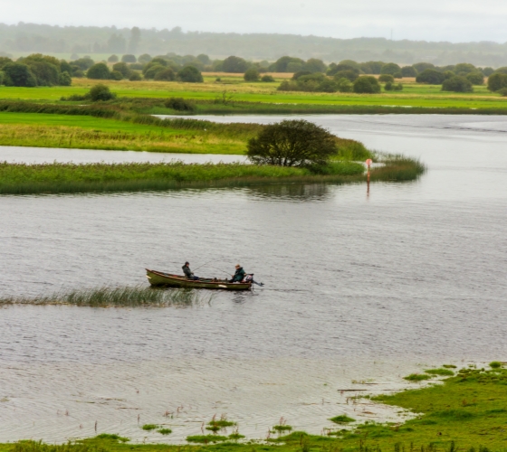
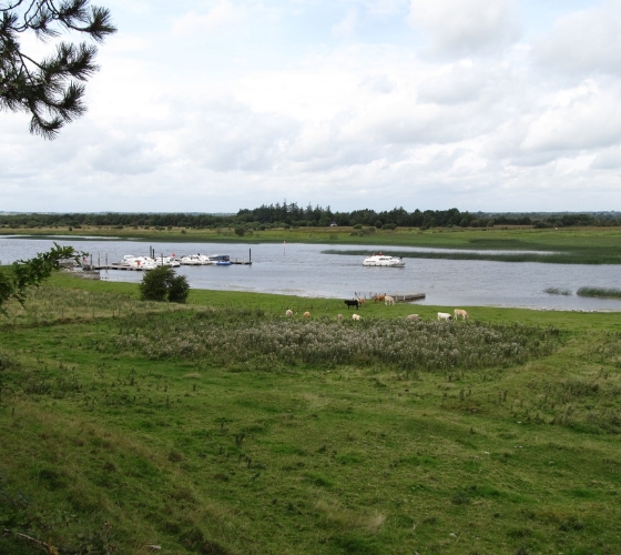
The Shannon Callows is a seasonally flooded grassland area found on the low-lying river Shannon floodplains. These areas lie between Athlone, where the river flows out of Lough Ree, and Portumna, where it enters Lough Derg.
The Shannon Callows is renowned for its wild birds and wildlife generally. It has one of the largest concentrations of breeding waders in these islands with Lapwing, Redshank, Curlew, Sandpiper and Godwit living there. Many species of migrant wildbirds are also frequent visitors while otters and foxes are common residents.
The Shannon Callows are mainly too soft for intensive farming but are used for hay or silage or for summer grazing. Water levels in the Callows can fluctuate significantly, causing challenges during extreme weather conditions. Water level management is limited in preventing flooding when excessive rainfall occurs.
National Parks and Wildlife Service (NPWS) is responsible for nature conservation, wildlife protection and Ireland’s National Parks and Nature Reserves. NPWS is an Executive Agency within the Department of Housing, Local Government and Heritage in Ireland. The mission of the NPWS is to protect nature.
What is the Shannon Callows ‘Pinch Points’ project?
The Government is providing €7m to implement a programme of strategic maintenance upstream of Ardnacrusha to assist with mitigating flooding and the removal of a number of ‘pinch points’ through the Shannon Callows that can help to delay flooding in the area. Some €4m of this funding relates directly to the removal of the ‘pinch points’ in the Callows region.
Studies carried out as part of the Shannon Catchment Flood Risk Assessment and Management (CFRAM) Study and the Shannon Flood Risk State Agency Co-ordination Working Group highlighted potential benefits and informed the decision to remove a number of ‘pinch points’ in the Callows region.
An ecological consultant was appointed in June 2024 to consider the potential positive and negative ecological impacts of the proposed removal of ‘Pinch Points’. A draft report will be submitted to the Shannon Flood Risk State Agency Co-ordination Working group for consideration in due course.
The project will be subject to Planning consent which will require Environmental Impact Assessment and Appropriate Assessment under the Birds and Habitats Directives. Further consents may be required under other legislation. No work can commence in the absence of all appropriate consents being granted.